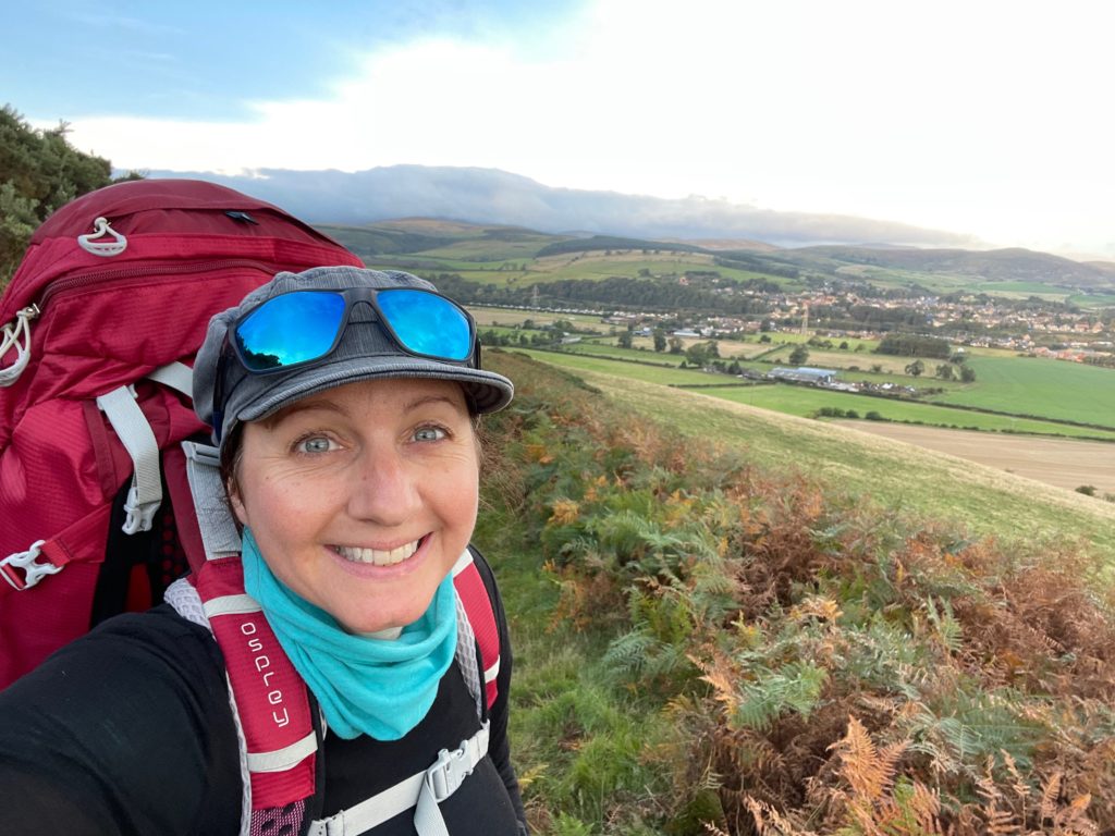
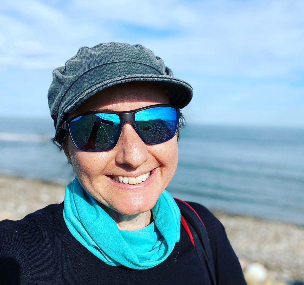
I walked the St Cuthbert’s Way from Melrose, Scotland, to Lindisfarne, Holy Island, on the Northumberland Coast in early October 2021. It was a secular pilgrimage to an area of the UK that I have always wanted to visit and since the pandemic restrictions prevented travel overseas, I decided to take the opportunity to finally go.
This article covers the 5-day walk, including the final crossing to Lindisfarne, Holy Island. There were challenging elements every day in terms of distance, weather, and terrain — but it really was a worthwhile trip and I highly recommend it. I share day-by-day pictures from the walk and some practical information if you’re considering the route.

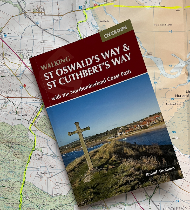
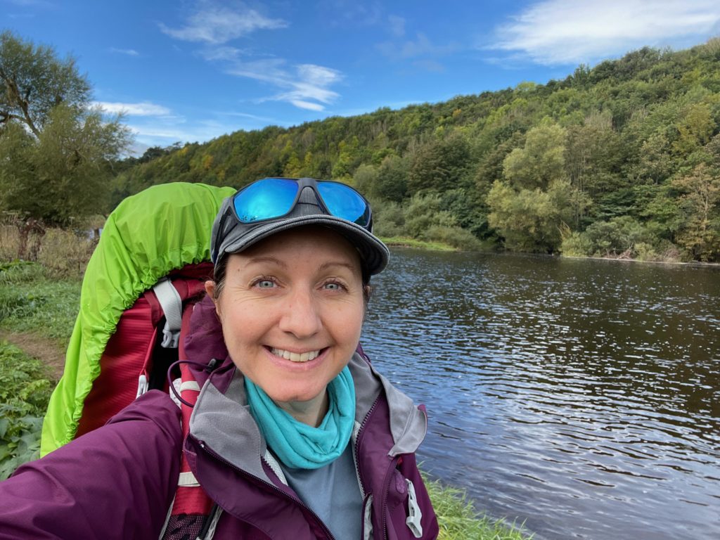
I organized the trip independently, walked solo, and carried my own pack. I used the Cicerone Guide to Walking St Oswald’s Way & St Cuthbert’s Way and also took physical OS Maps with the route highlighted. I also used the Komoot app and I have the OS Maps app on my phone. Although there is a phone signal most of the time on the way, there were notable occasions with no service, especially in the valleys in the more rural section of the Cheviots.
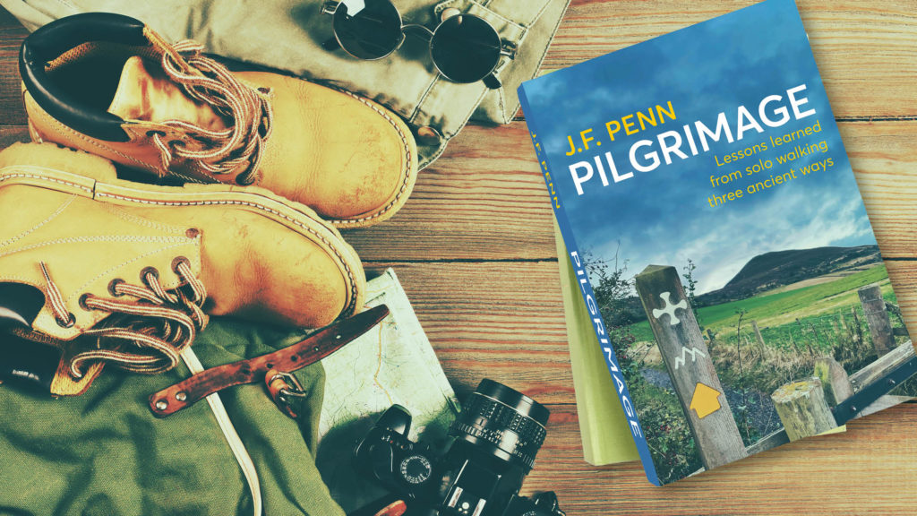
My book, Pilgrimage, Lessons Learned from Solo Walking Three Ancient Ways, is out now.

Day 1: Melrose to Jedburgh (20 miles, 32 km)
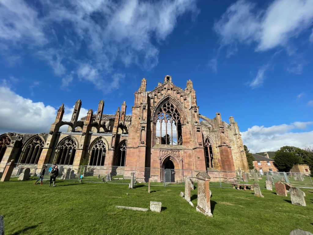
The day before, I traveled by Borders Bus to Melrose from Berwick-on-Tweed, which has train and bus links to Newcastle, Edinburgh, and London. You can also get to Melrose by train from Edinburgh. I stayed at the Station Hotel, Melrose, and visited Melrose Abbey the afternoon below leaving.
Melrose Abbey was founded in 1136 and is thought to be the burial place of Robert the Bruce’s heart. When I visited, the abbey grounds were fenced for repairs so I couldn’t get too close.

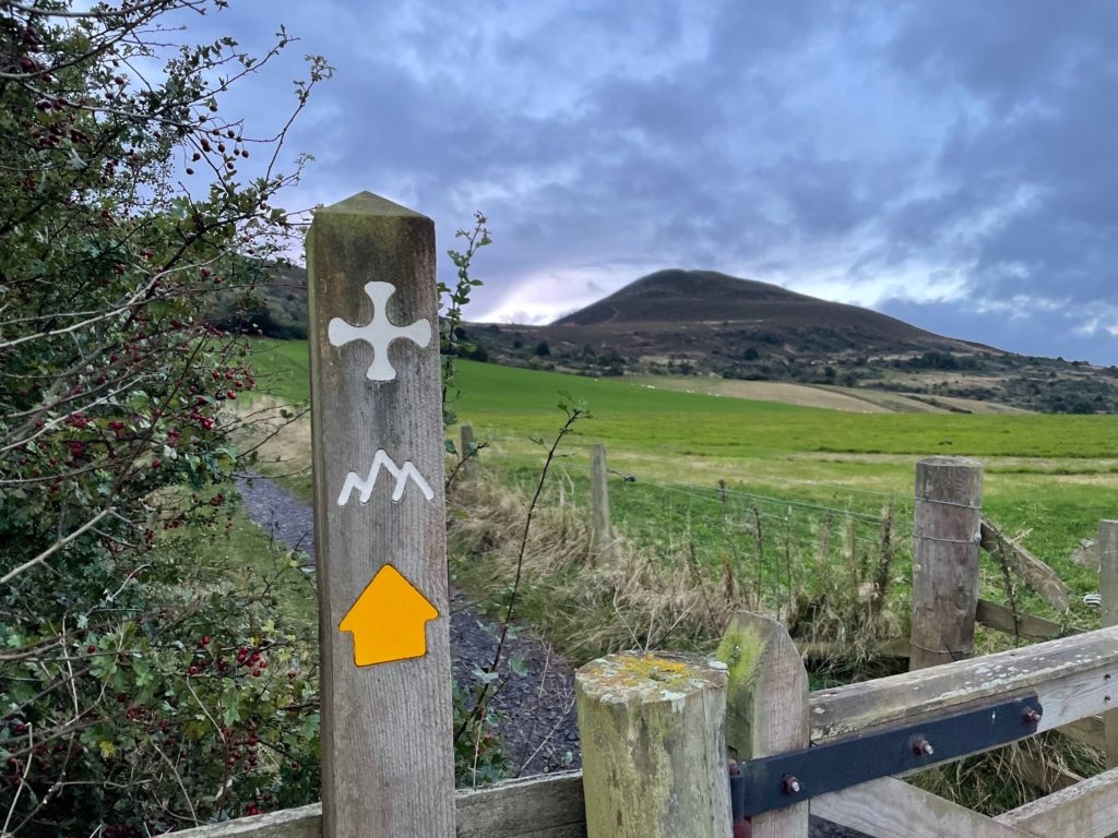
Day 1 is a long day, so I left in the dark around 7 am before sunrise at 7.30-ish. I wouldn’t walk this day later than mid-October to allow for reduced daylight hours. The path away from Melrose is a walk up into the Eildon Hills towards Trimontium (3 mountains).
The path continues over the saddle between two of the peaks.
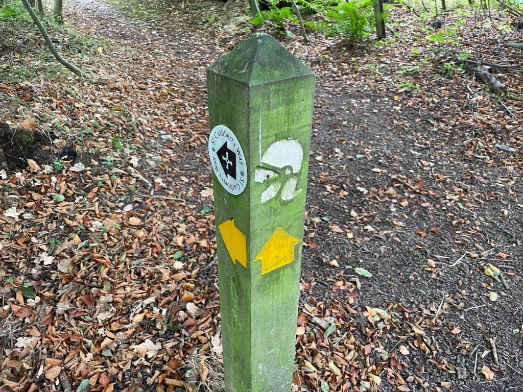
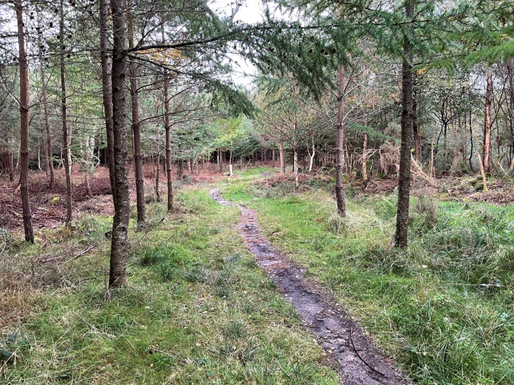
The path descends into woods. The route has clear signage on this Scottish side of the path.
The path continues to Newton St. Boswells, where you can cross the River Tweed to visit the Dryburgh Abbey. Because of limited daylight, I chose to stay on the path which continues alongside the river for a lovely stretch. You can see herons and ducks as well as people fishing.
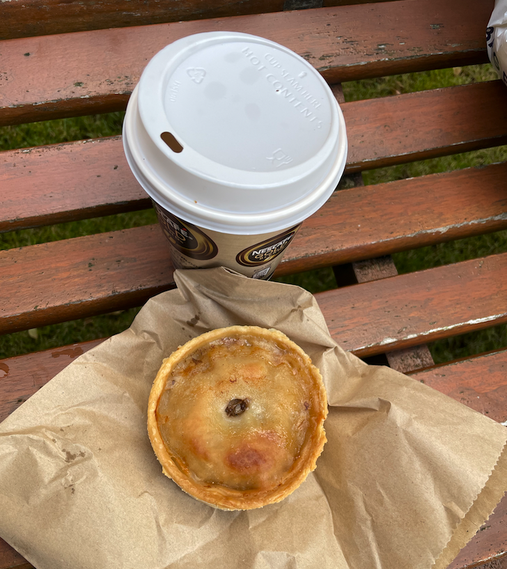
I stopped in St Boswells for a coffee and a scotch pie from the butchers. There is also a small supermarket, but in general, there are not many amenities during the day on this route, so carry enough food and water.

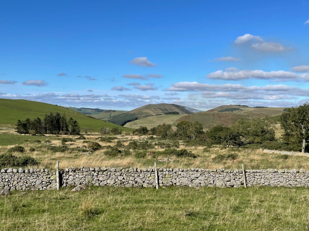
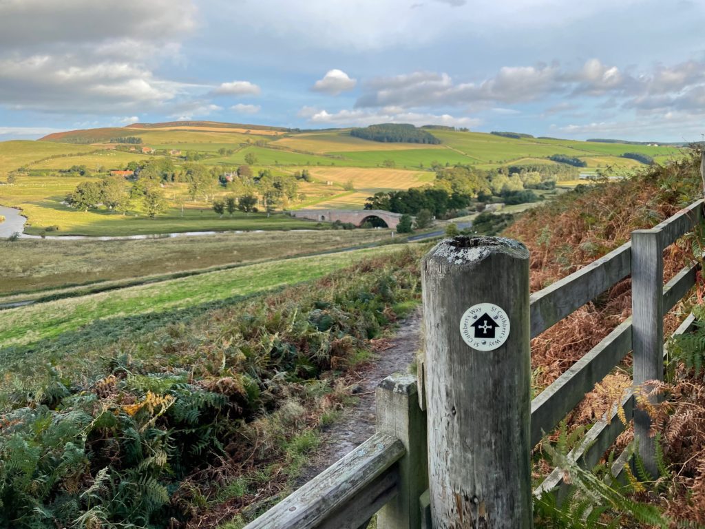
There is a long section along Dere Street, a Roman Road which runs parallel to the A68, which you can hear in the distance for most of this stretch. It’s marked by a Roman helmet on the signposts alongside the St Cuthbert’s Way sign.
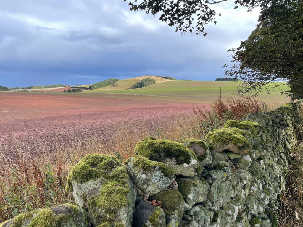
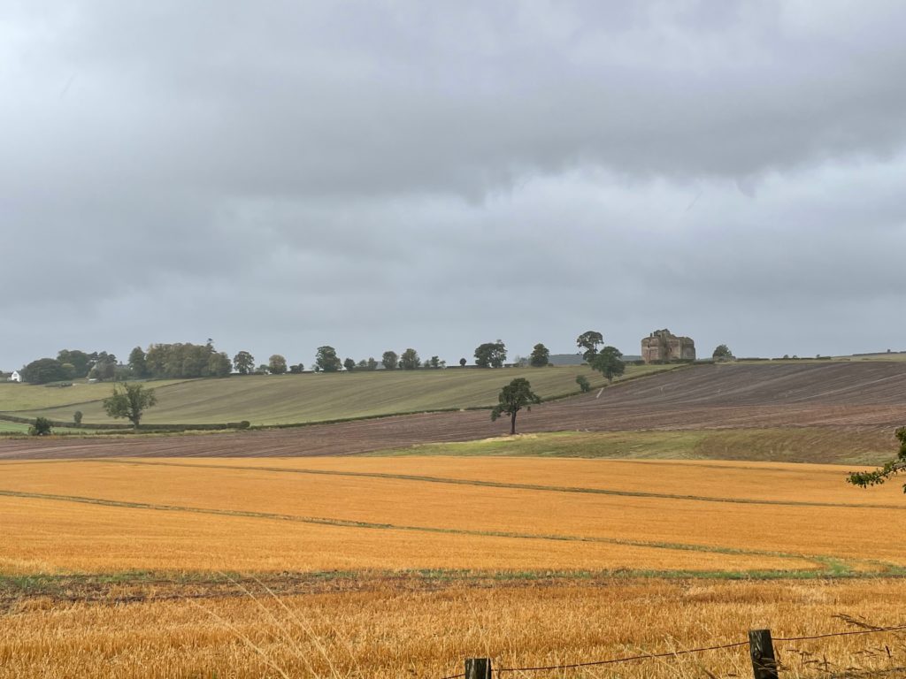
It’s a beautiful path with views over the fields and hills as well as out to the mausoleum of General Sir Thomas Monteath Douglas, and the Waterloo Monument.
Just off the trail, you can visit Lilliard’s Stone, a small monument to a woman who fought in the Battle of Ancrum Moor between the Scots and the English in 1545. By this stage, I was pretty tired but the sun was out and the views are magnificent, so it was a good afternoon.
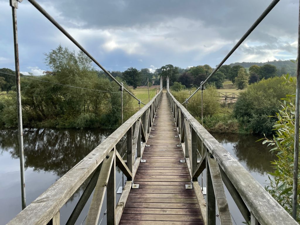
The path crosses this suspension bridge over the River Teviot. It was pretty wobbly!
There’s no accommodation on the St Cuthbert’s Way here, so I took the route down into Jedburgh, which has plenty of places to stay, as well as pubs and restaurants. I stayed at The Spread-Eagle Hotel. It adds a few extra kilometers to the walk, all downhill (at least on the way in!). I was too tired to go anywhere after the big day, but there is a Co-op in the center of the small town so you can get food for the evening and the next day.
This walk was a chance to prove to myself that I was physically and mentally recovered from a bout of COVID. I caught it in mid-July 2021 and had 10 days in bed and then almost two months slowly getting back to full strength. It was a mild case as I was double vaccinated, but it was still debilitating.
This first day was long, and I was almost at the end of my physical limit by the time I got to the hotel. I had some wobbly moments early the next morning when I considered abandoning the walk. But after coffee and painkillers, I decided to continue — despite the forecast of rain all day — and I am so glad I did!
Day 2: Jedburgh to Kirk Yetholm (16 miles, 26 km)
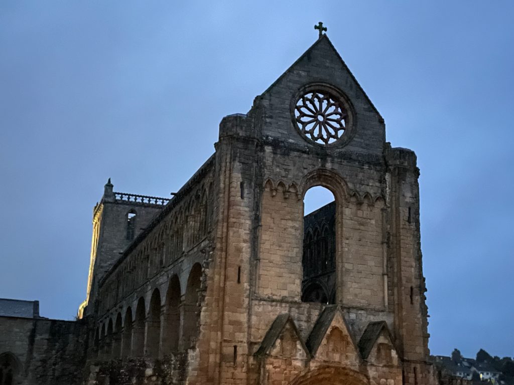
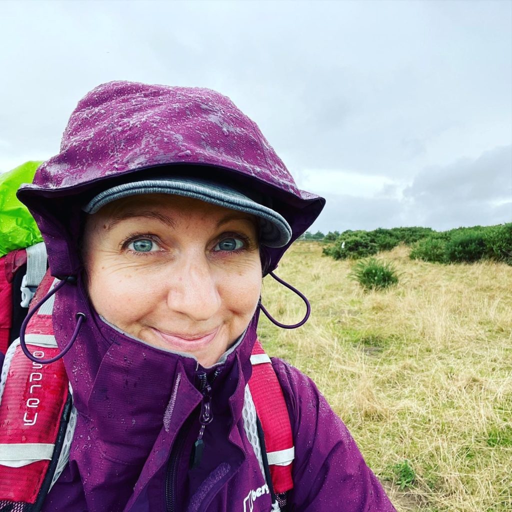
I left the hotel before dawn in heavy rain, which was forecast to continue for 24 hours. I wore all my waterproof gear, covered my pack with its cover, and added a poncho for another waterproof and windproof layer. I missed the opening hours of Jedburgh Abbey (founded 1138), so I visited in the semi-darkness before leaving — via the Co-op for the day’s provisions.
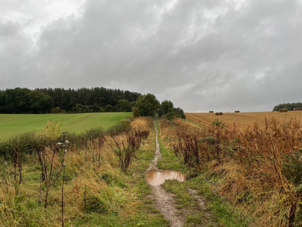
It had already been raining for hours, so the path was wet and boggy. It didn’t stop raining all day!
It was also very windy. You can see the direction of the ferns as the wind swept over the fields into the edge of this wood. There was very little shelter and much of the walk was exposed.
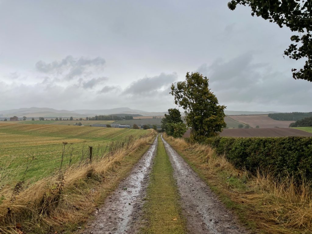
The path continues alongside fields and woods.
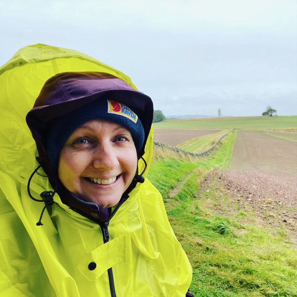
I wore a poncho on top of my waterproof and pack cover in an attempt to stay dry and protected from the wind. It also acted as good visibility on a grey and wet day.

You pass the ruins of Cessford Castle near Morebattle, build in the 15th century. It was the stronghold of the Kers family, who fought with the English and the Scots.
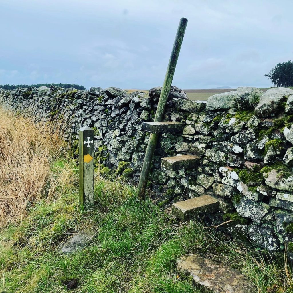
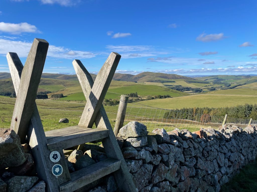
There are many different kinds of stiles on the walk. I liked this one over an old stone wall, and the pole was useful as it was so windy.
The heavy rain continued, and I was hoping to find shelter and hot food at the small village of Morebattle. But the pub and the community coffee shop were both closed and so I sheltered behind the church to eat a sandwich.
The final stage of the day was over Wideopen Hill, which, as the name suggests, was an exposed hilltop. Given the state of the weather, I decided I did not want to be up there alone, exposed to the wind and heavy rain. So I walked from Morebattle to Kirk Yetholm along the road instead. It wasn’t very busy and my bright yellow poncho helped with visibility.
I finally reached The Millhouse at Kirk Yetholm, which was wonderful, and curled up in bed while the storm howled outside.
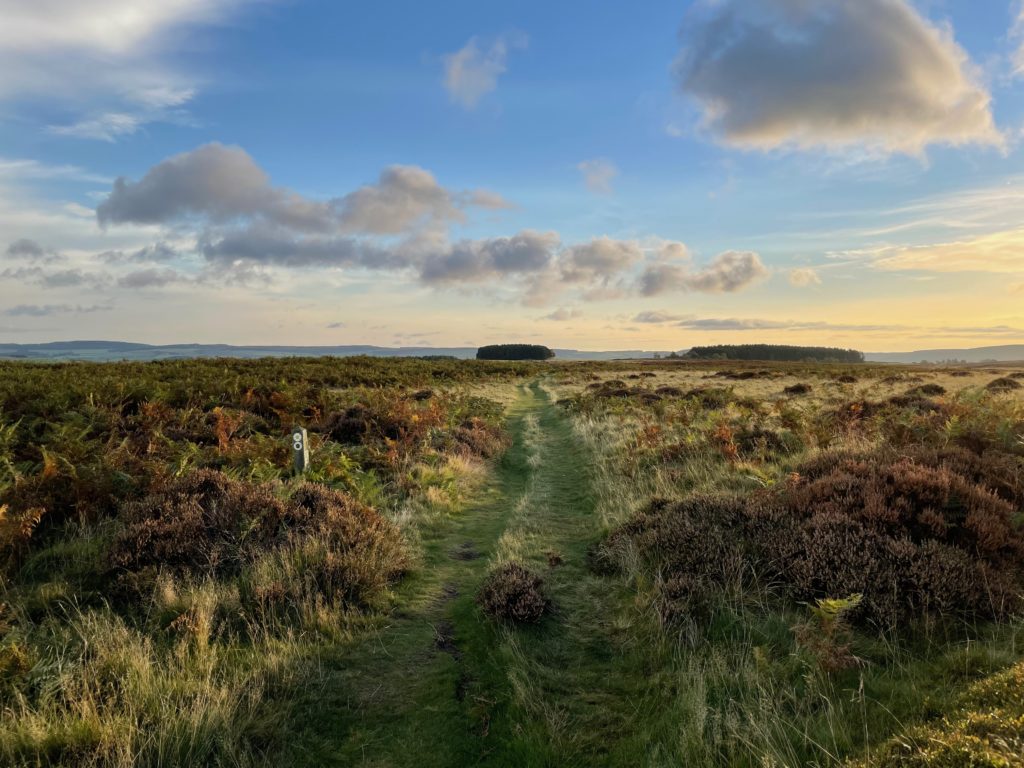
Day 3: Kirk Yetholm to Wooler (14 miles, 23 km)
The rain finally stopped!
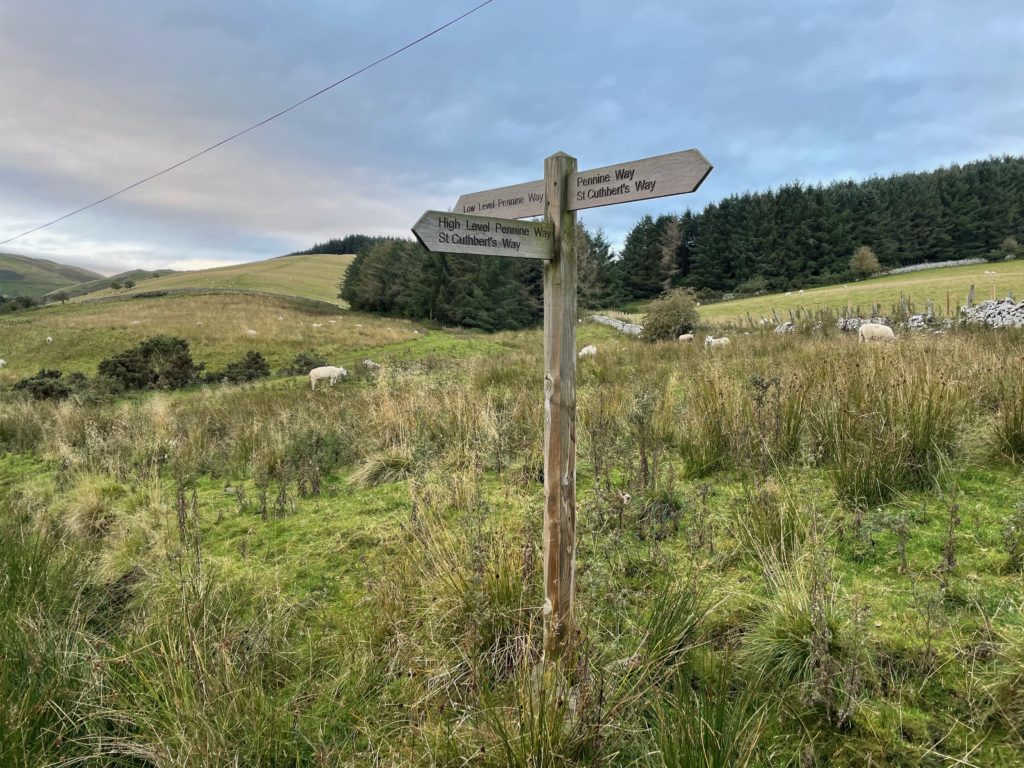
I walked out of Kirk Yetholm where the Pennine Way and the St Cuthbert’s Way continue together to the beginning of the Cheviot Hills (pronounced ‘cheeviot’) before splitting into different routes at the base of the hills.
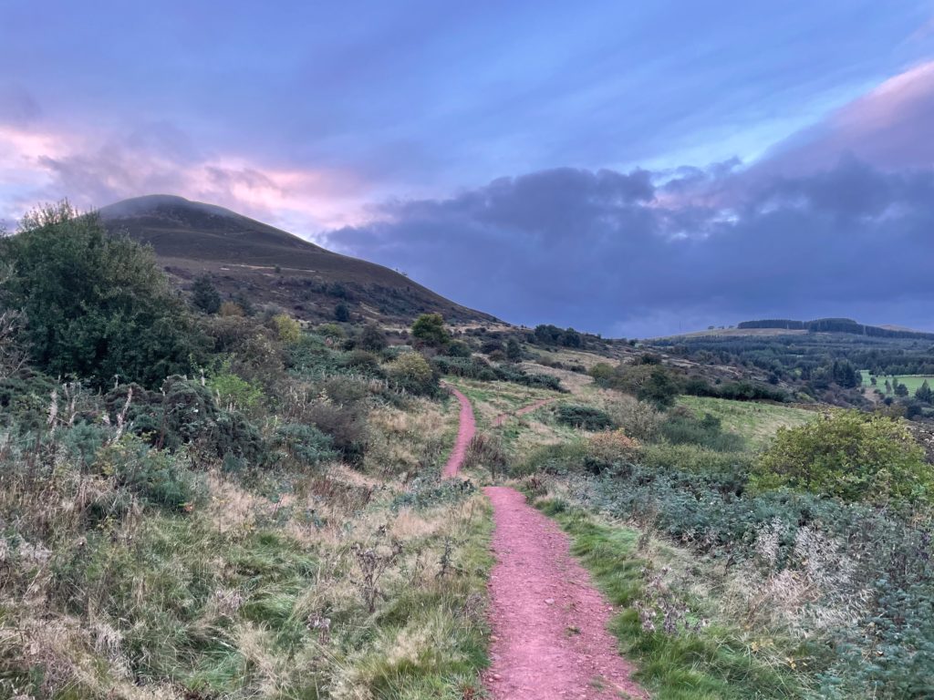
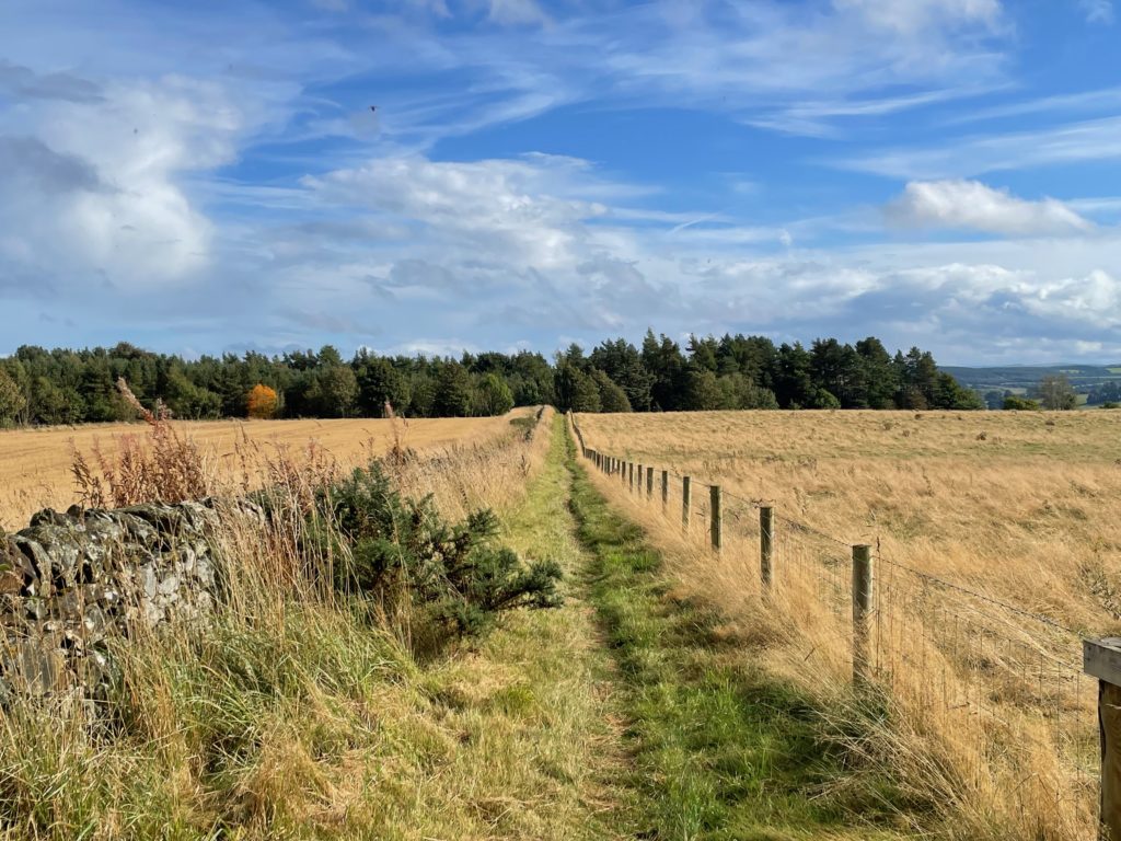
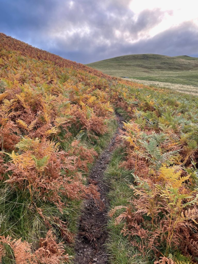
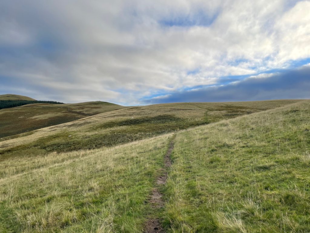
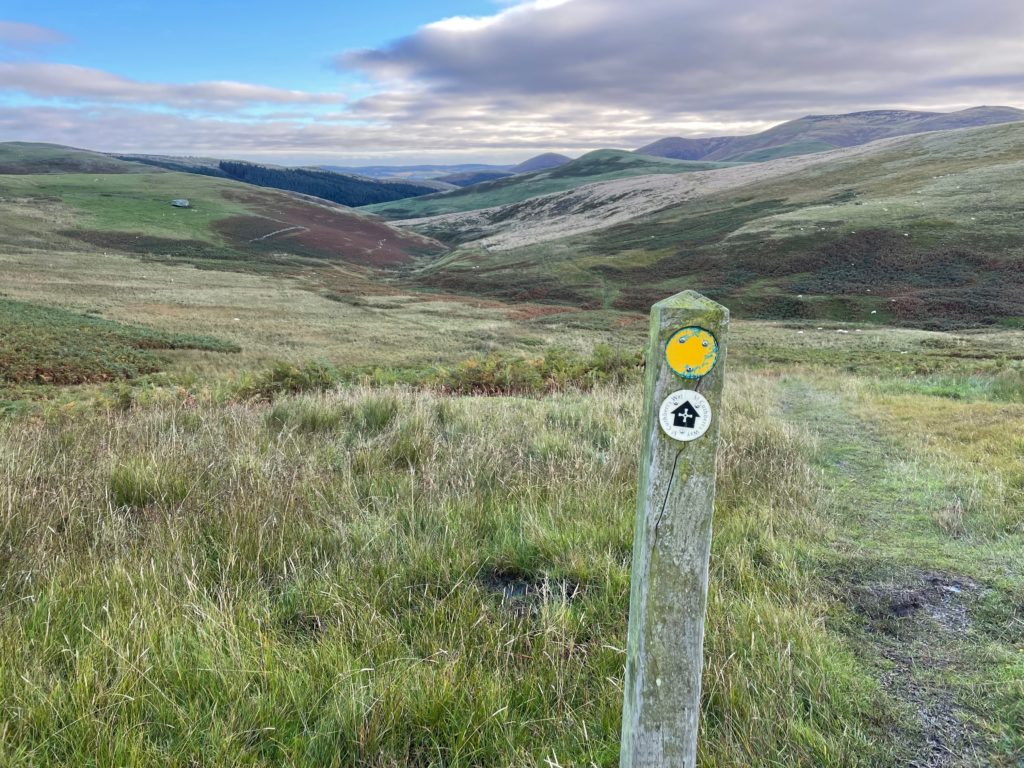
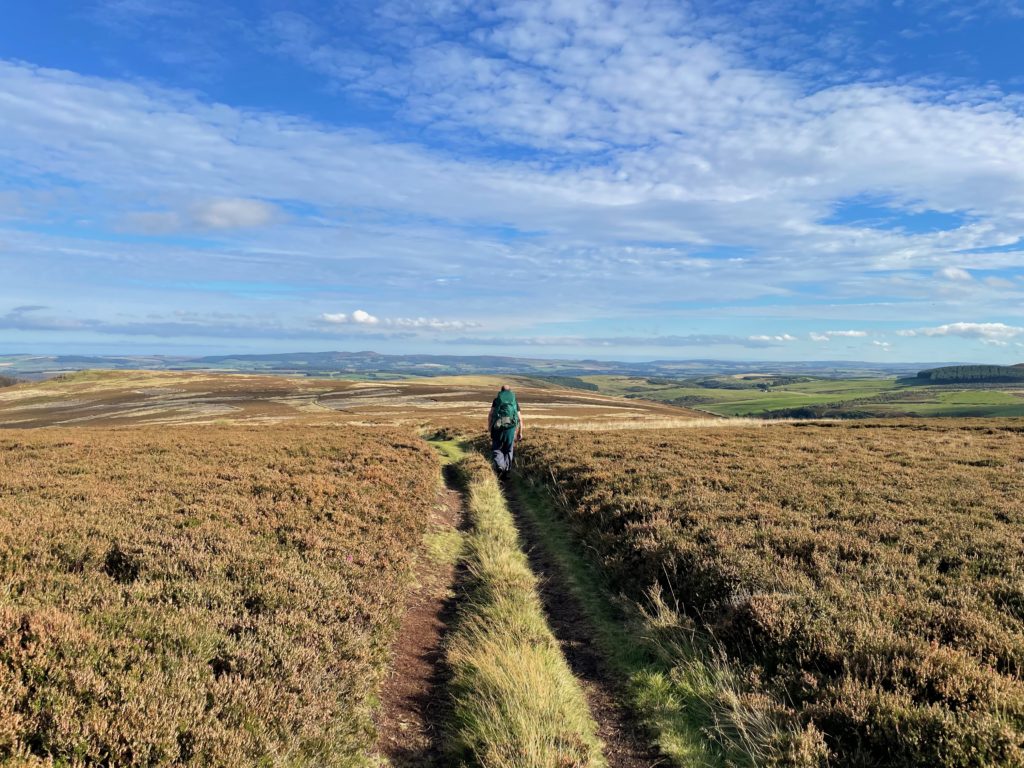
The first section of the Cheviots has exposed hills with views into the distance, and paths through bracken and then over the open hilltops.

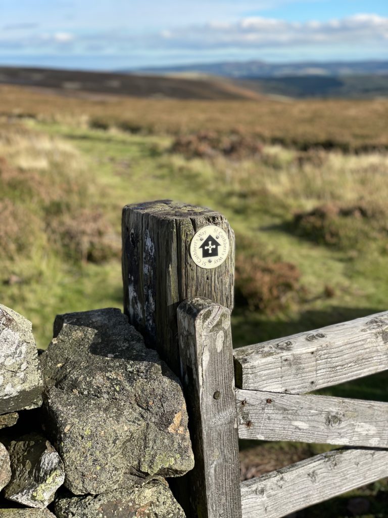
The path is very clearly marked — at least in good weather.
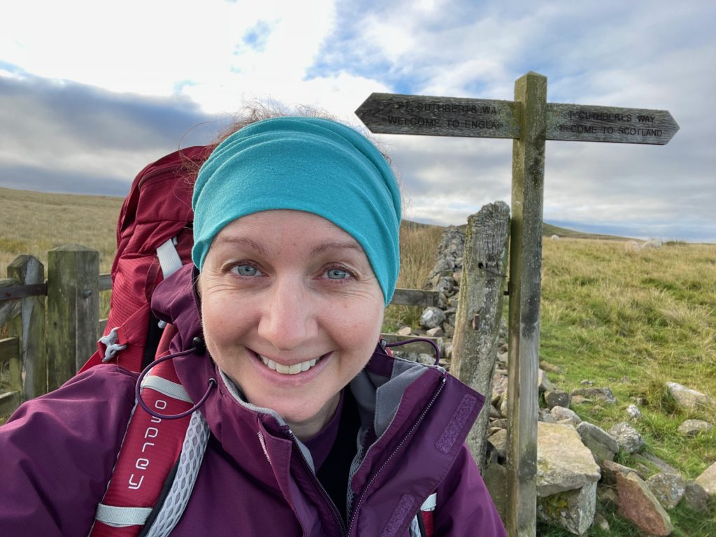
The path soon crosses the border between Scotland and England. I’m covering my ears as the wind was still pretty fierce.
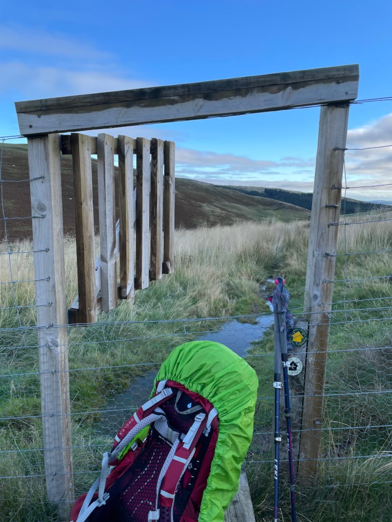
The path descends into valleys between the hills and after the rain, it was boggy and slippery. I used my walking poles all day, every day, and was particularly grateful for them while navigating this section.
This is an unusual type of stile with a gate on the top. The small size of the gap meant I had to take off my pack and put it through separately.
The path continues to Elsdonburn.
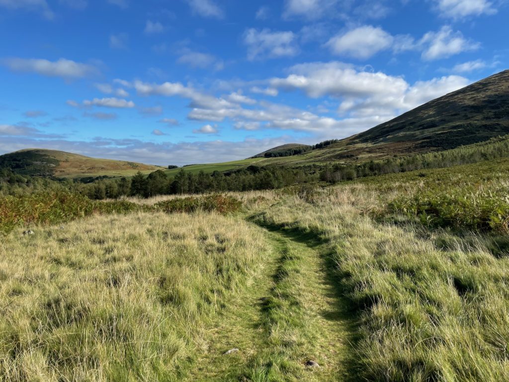
The path continues out of Hethpool, and just after this section, I took a wrong turn when some dog walkers stood aside to let me pass, blocking the way. I continued in the wrong direction and ended up back at this spot. Luckily, it was a lovely day! I also learned to retrace my steps if that happens again so I don’t miss a turning that was clearly marked.
It was a beautiful, sunny afternoon walking across the Cheviots. I met some other walkers after I doubled back, so I had some human company along with the sheep and horses.
This cross-shaped stile was another example of the varied crossing points along the way.
Such a beautiful place to walk on a lovely day!

On the English side of the border, the signs were less reliable. Sometimes they were on the opposite side of the fenceposts, but I was paying closer attention to the map after going wrong earlier in the day.
The descent into Wooler comes off the moor and into forest. This is Keith, one of the walkers I met along the way.
I stayed at Noble Lands in Wooler and ate at Milan restaurant, which had huge portions!
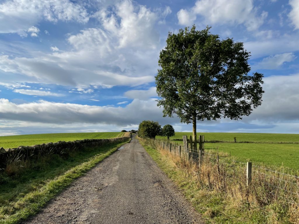
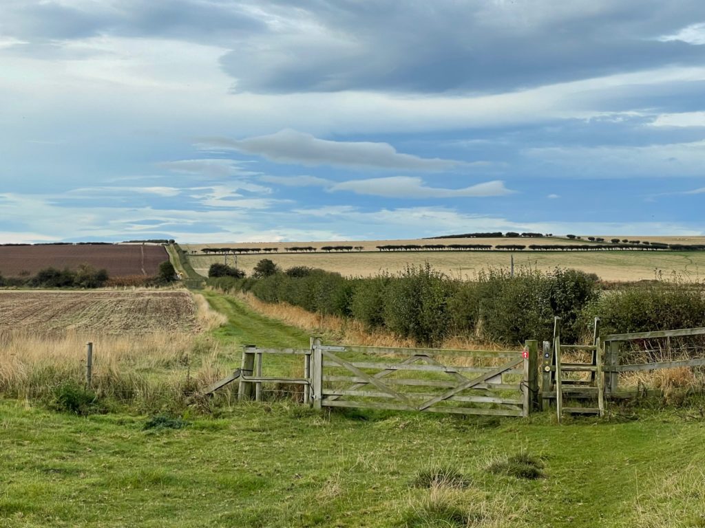
Day 4: Wooler to Fenham (14 miles, 23 km)
Walking out of Wooler, the path climbs up onto Weetwood Moor.
I left early again so the sun was coming up as I walked over the moor with the skylarks chirping in the bracken.
The path descends to Weetwood Bridge, visible in the middle of the picture below.
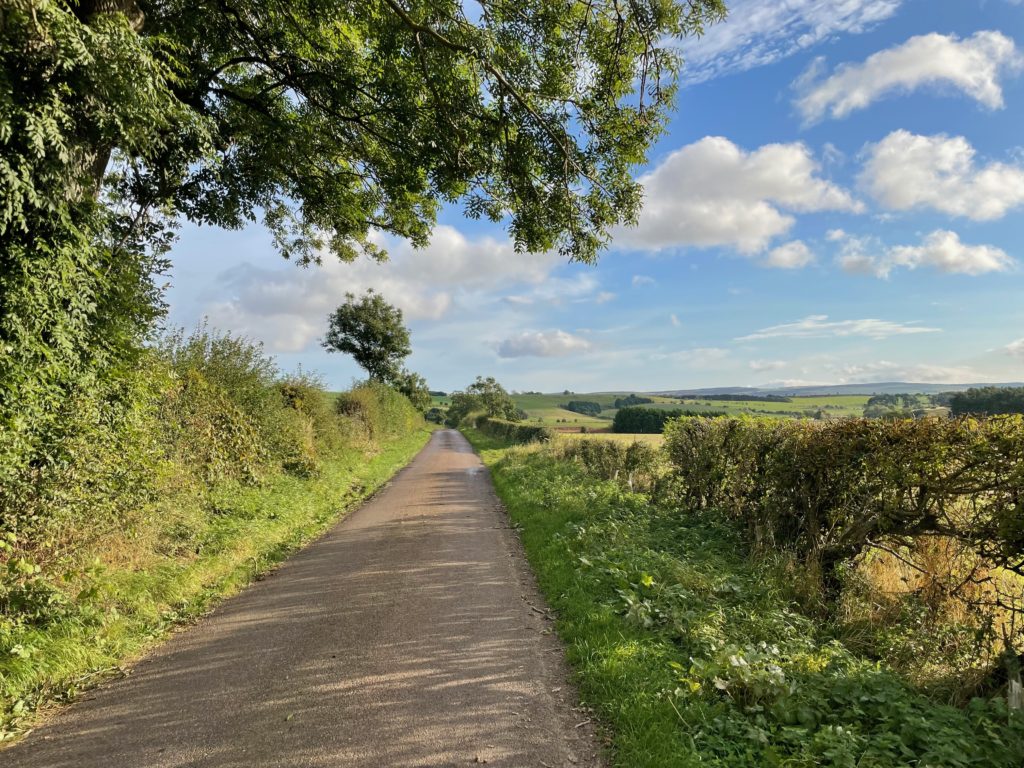
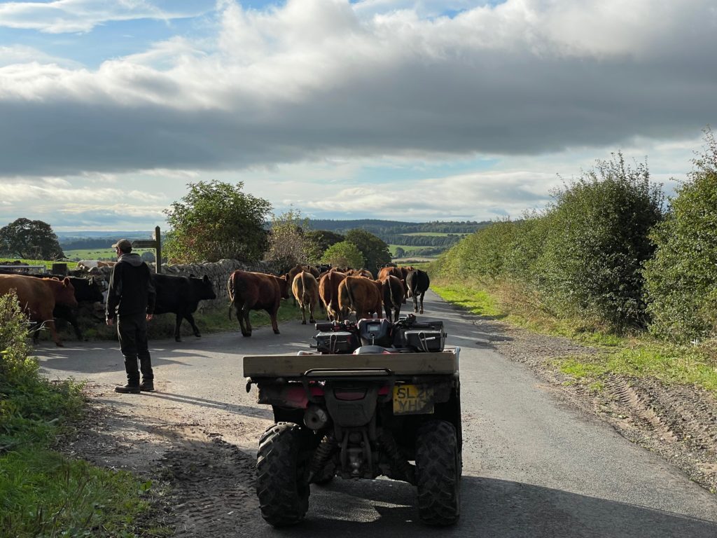
After the bridge, the way is on rural roads next to fields.
At one point, a farmer stopped me and told me to wait while a herd of cows thundered down the road toward the farm.
I didn’t see anyone after that for quite a while.
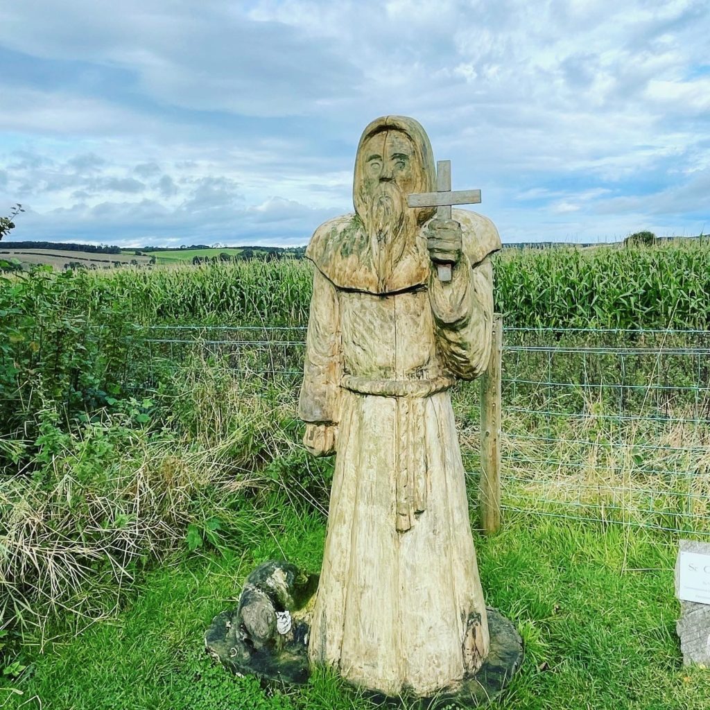
This statue of St Cuthbert is on the road heading to St Cuthbert’s Cave.
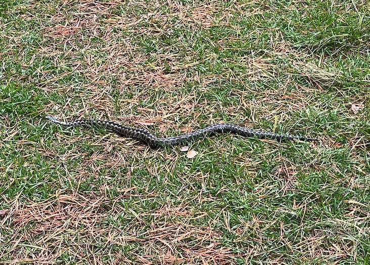
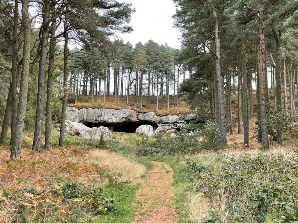
St Cuthbert’s Cave is within a National Trust protected section of a wood, and on the grass as I walked up, I saw an adder. It is rare to see snakes in England, and I have never seen an adder in the wild. It really made my day!

St Cuthbert’s Cave is made of sandstone. Legend says that monks sheltered here with St Cuthbert’s remains on their way to Durham Cathedral after Viking raids made the priory on Lindisfarne untenable.
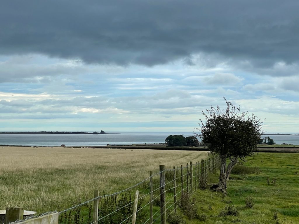
After leaving the cave, the path crosses fields of cows.
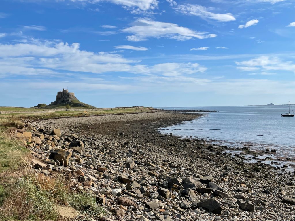
It started to rain again but as I crested a hill, I caught my first glimpse of Lindisfarne in the distance.
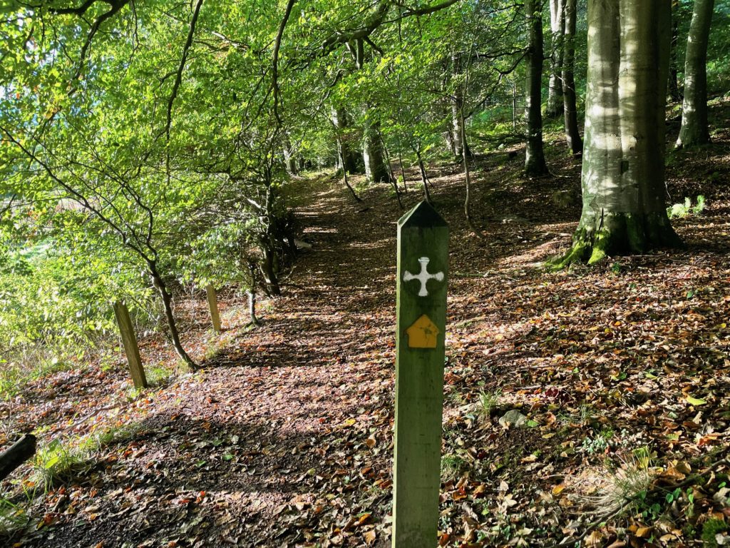
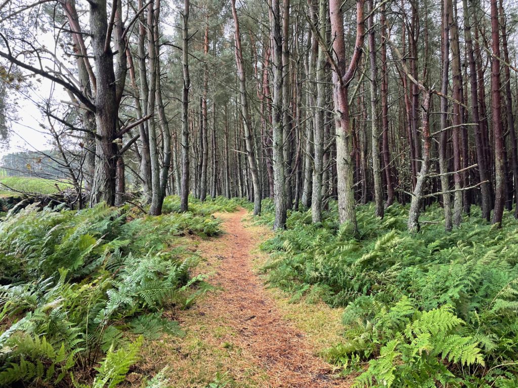
The way continues through a forest.
The path emerges at Fenwick where a village shop has refreshments if you need them. You have to cross a busy road to continue on towards Fenham.
I stayed at Fenham Farm, which was one of the best B&Bs I’ve ever stayed in. Let them know if you’re walking. They can provide dinner as there is nowhere nearby to eat or buy food (unless you have a car.)
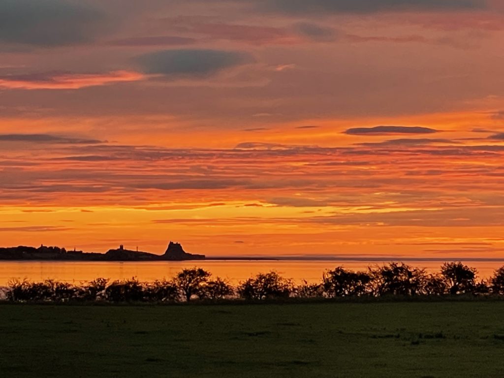
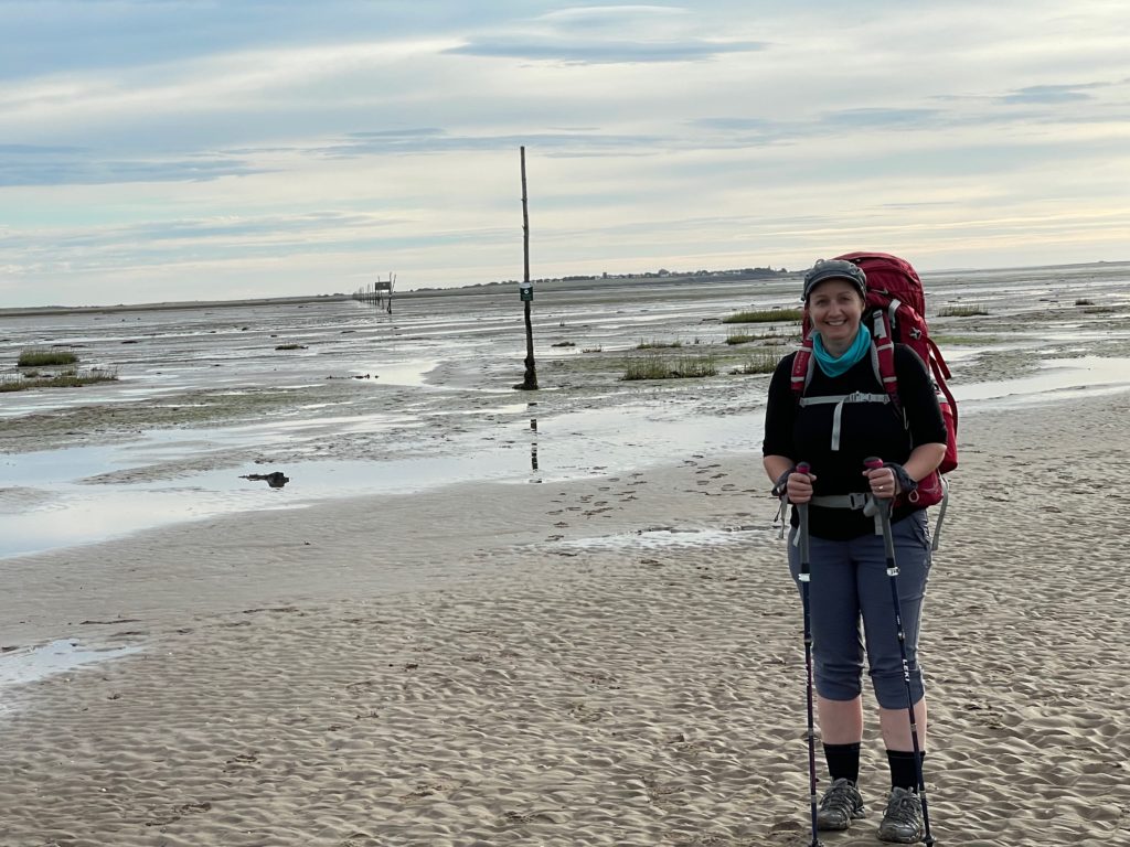
Day 5: Crossing to Lindisfarne, Holy Island (7 miles, 11km)
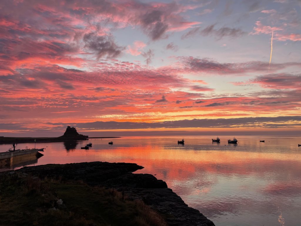
I watched the sunrise over the sea towards Lindisfarne. There is no filter on this photo!
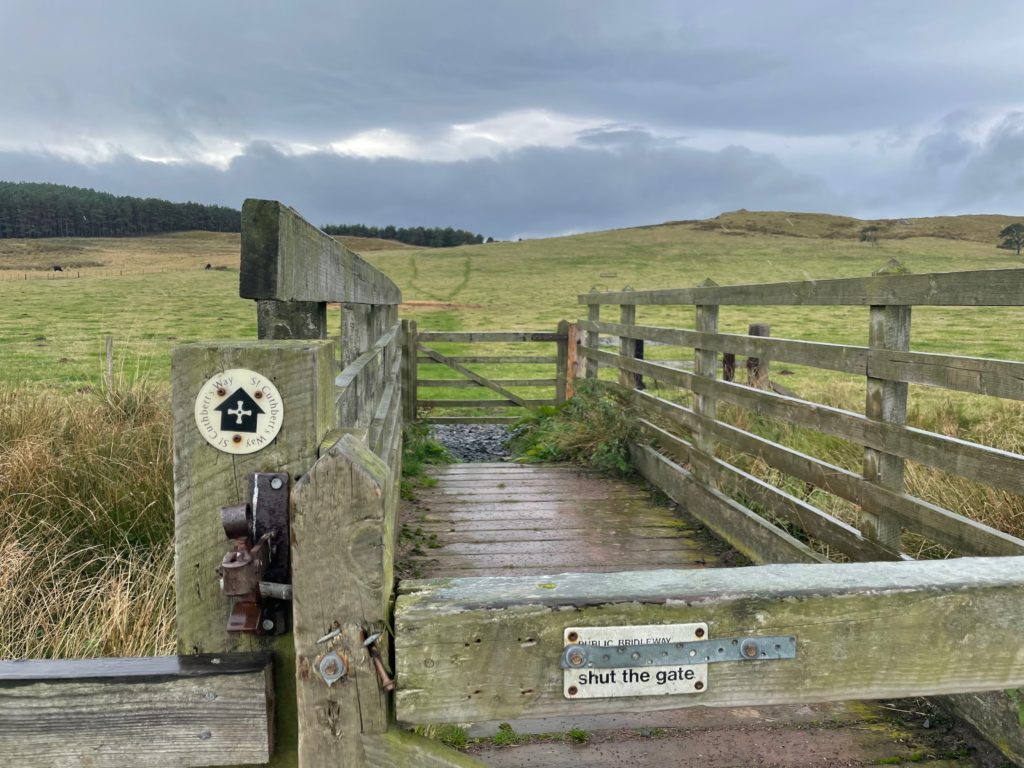
It’s only about 30 minutes walk from Fenham to the beginning of the causeway across some fields.
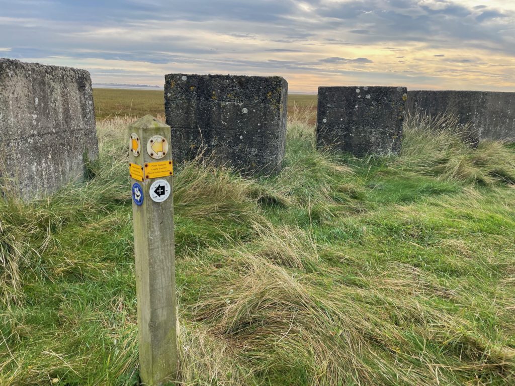
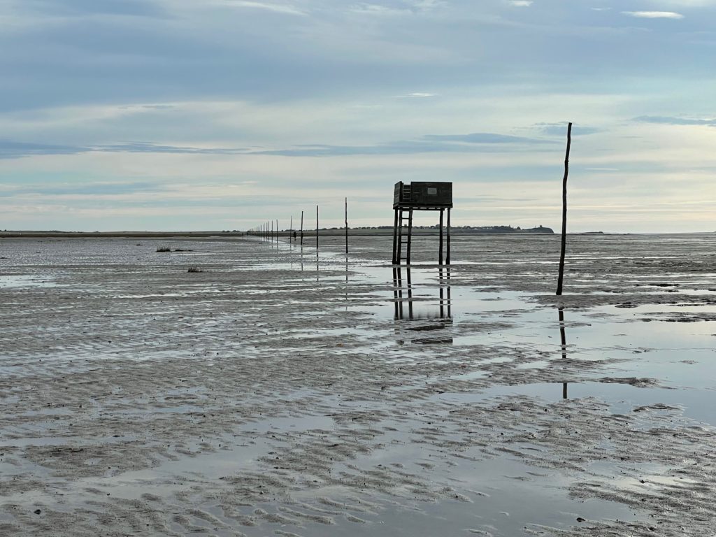
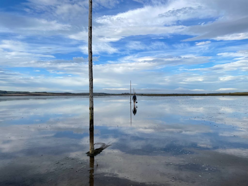
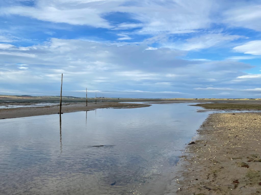
There are some concrete blocks at the end of the wetlands leftover from the military operations of World War II, when the area was used for bombing practice. There is still unexploded ordinance in the channel, so if you walk across, stay near the poles!
You can only cross at low tide. Check the Holy Island crossing times. Do not try to beat the tide! If you’re walking the sands, the guidebook recommends *finishing* the walk by the mid-point of the safe crossing time.
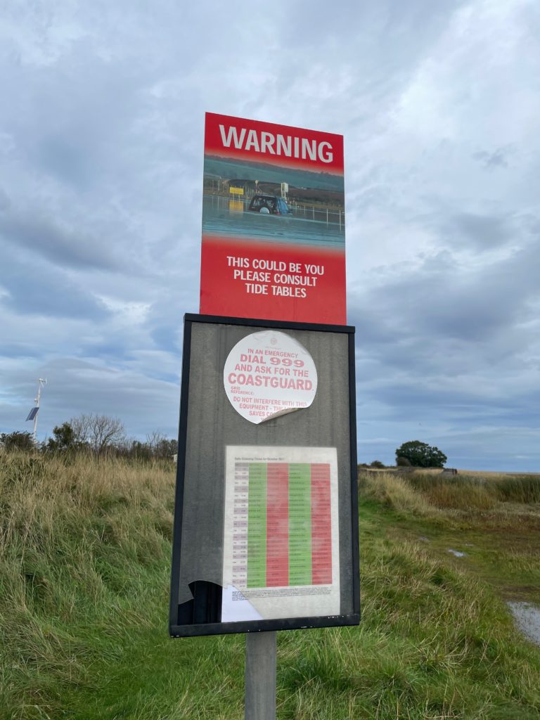
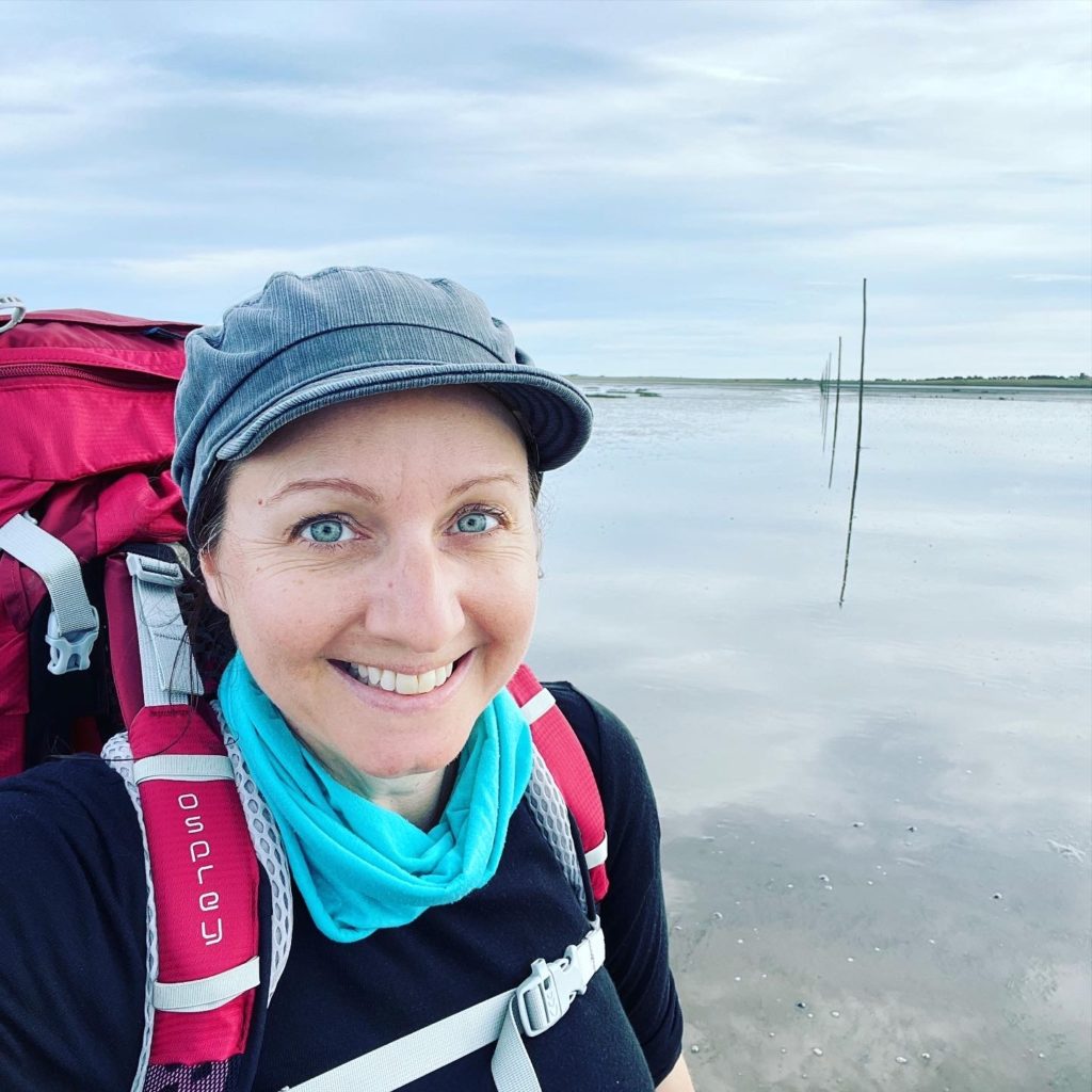
The safe crossing time on the day I walked was from 0850 to 1420. I stepped off the causeway at 1000 and arrived on the island at 1130. Some of the walk is on packed sand, but some patches are boggy and muddy and others are calf-high water. I wore waterproof socks and my walking shoes, which was fine. Some people walk barefoot but there are shells and other things, and I had some blisters so wanted to protect my feet.
This was one of the highlights of the trip. Every pilgrimage should end with a moment of meaning, and this was definitely it for me!
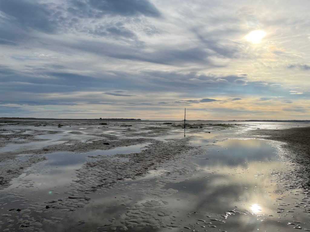
Follow the poles, which are easily visible on a clear day. There are two refuge points to climb up to if you are stranded in a rising tide.
I saw a few people on the walk over, some barefoot, but I walked mostly alone enjoying the open skies and reflections on the water, the sound of birds calling and the wind overhead.
This was a particularly deep patch!
Here I am looking quite triumphant! After the challenges of the previous days, this was an easy walk to my destination.
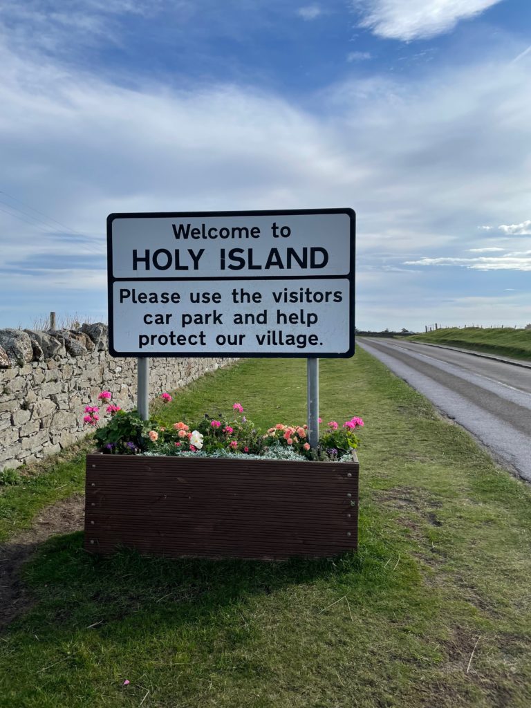
Once you make it to the other side, it’s quite a shock to walk up the road and find a massive car park full of tourists! There were coach tours as well, and the little village was full of day-trippers buying Lindisfarne Mead and Pilgrim Gelato.
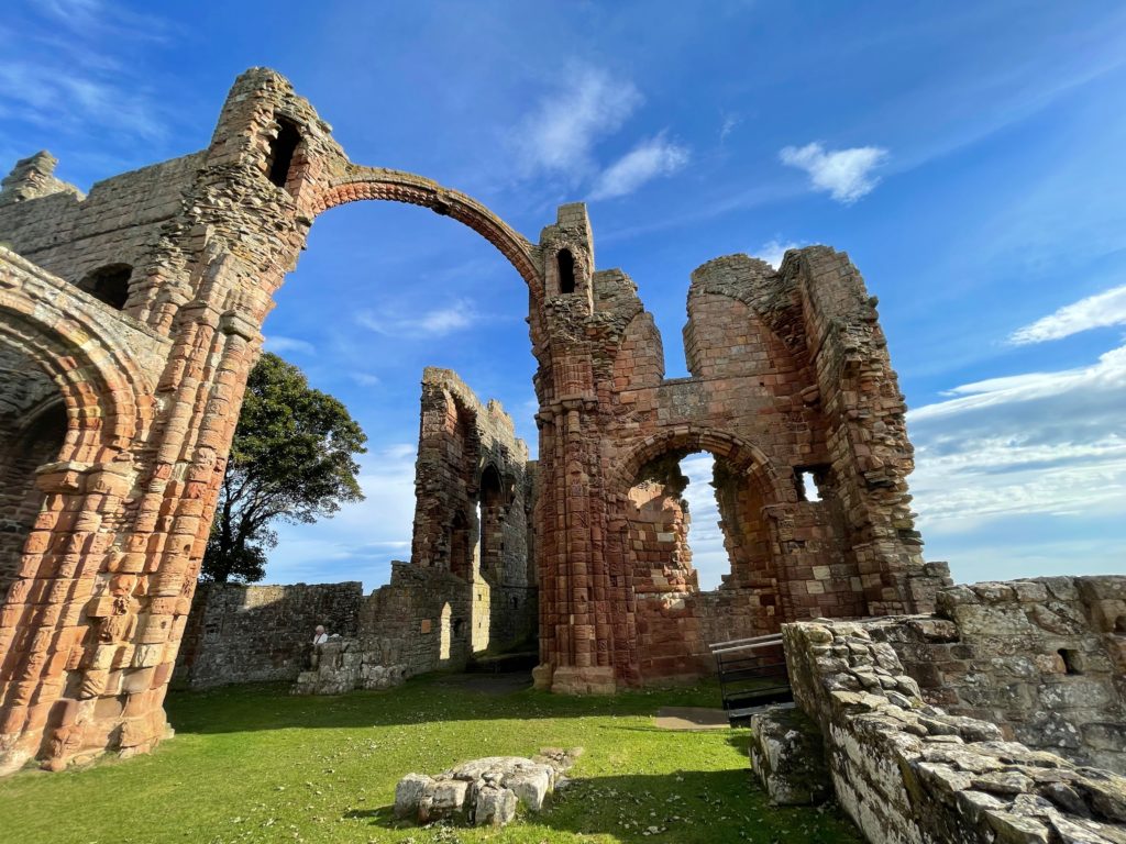
The main attractions are only open when the causeway allows visitors — and that changes every day — so check visiting times on the day you cross. I went straight to the ruins of Lindisfarne Priory, founded by the Irish monk, St Aidan, in 635AD.
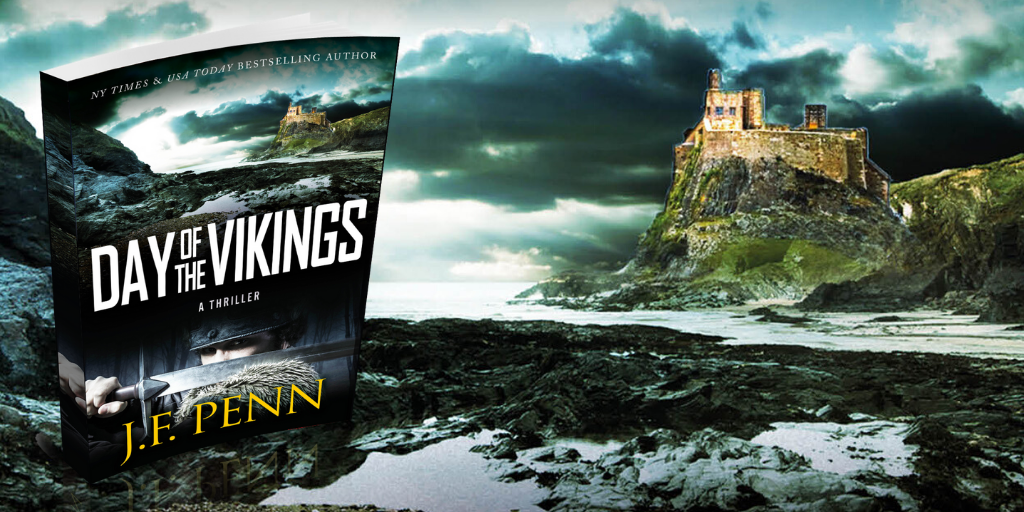
Holy Island was one of the most important Christian centers in medieval times, producing the Lindisfarne Gospels, now held at the British Library and which feature in my thriller, Day of the Vikings, which includes a scene of the Viking raid on the priory.
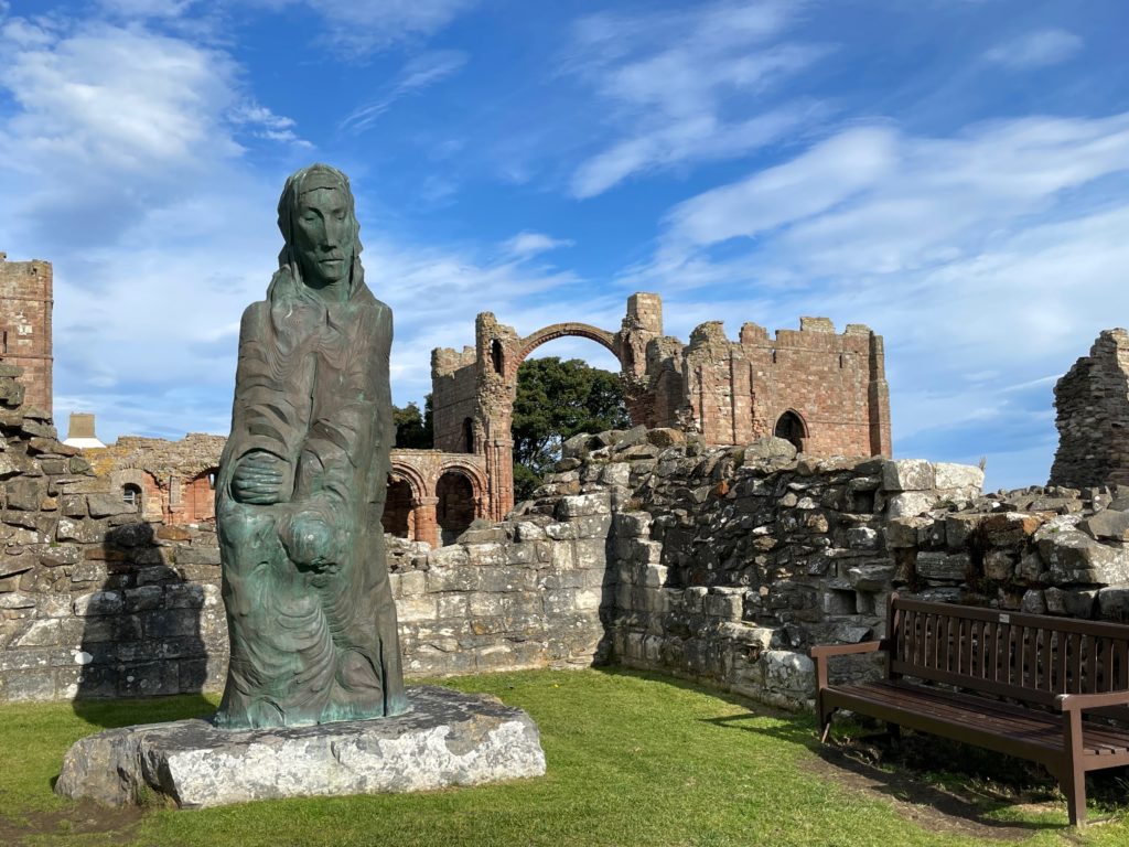
There is a statue of St Cuthbert inside the priory. He was the bishop of Lindisfarne in the 7th century, and his remains are now at Durham Cathedral. He is the patron saint of Northumbria.
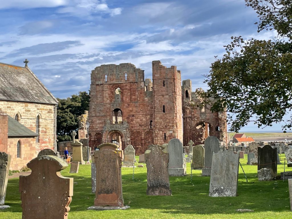
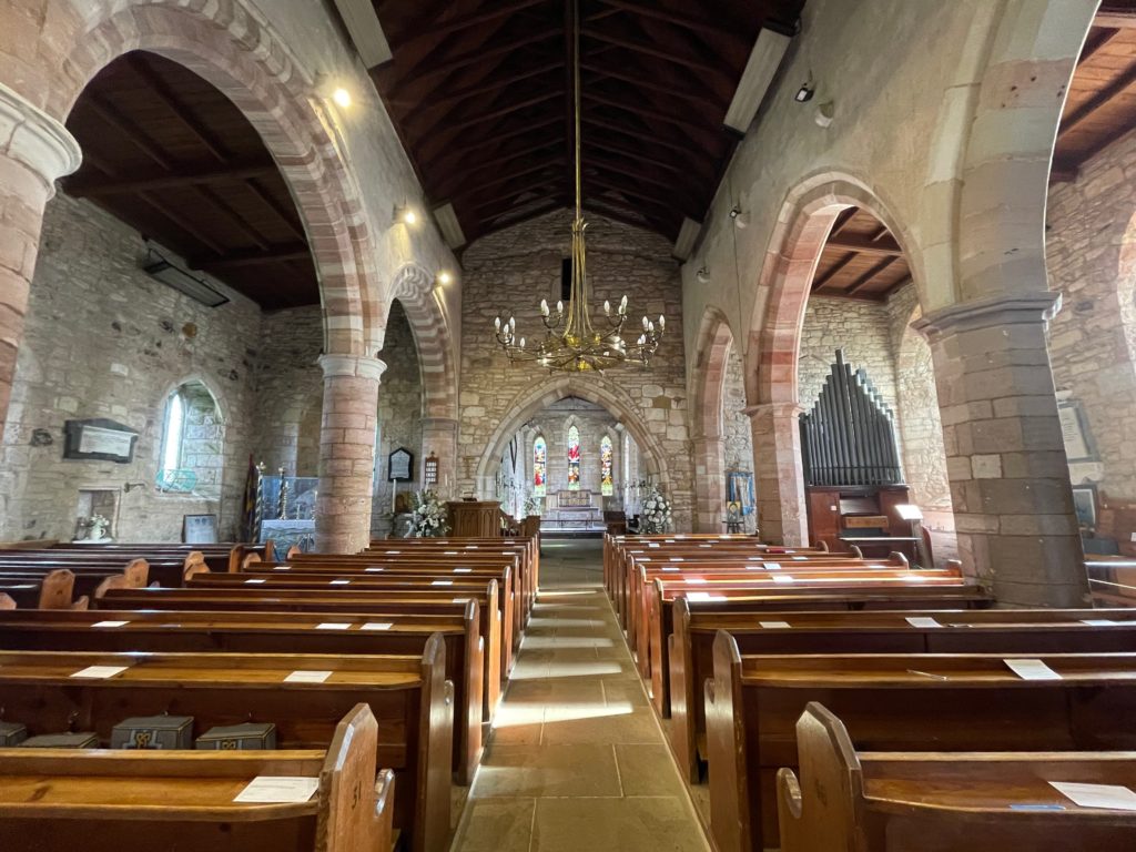
St Mary’s Church is right next to the priory. It mostly dates back to the 13th century but there are some Saxon elements and it’s the oldest church on the island.
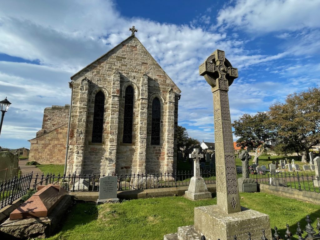
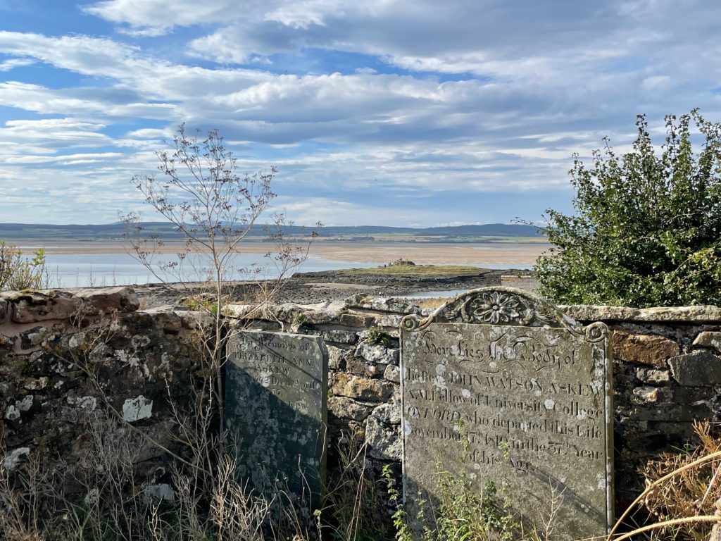
The churchyard of St Mary’s goes right up to the walls of the ruined priory.
St Mary’s has stone walls and a wooden vaulted roof.
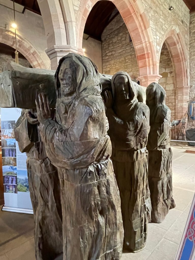
There was a lifesized wooden carving of the monks of Lindisfarne carrying the remains of St Cuthbert away from the island when Viking raids drove them away.
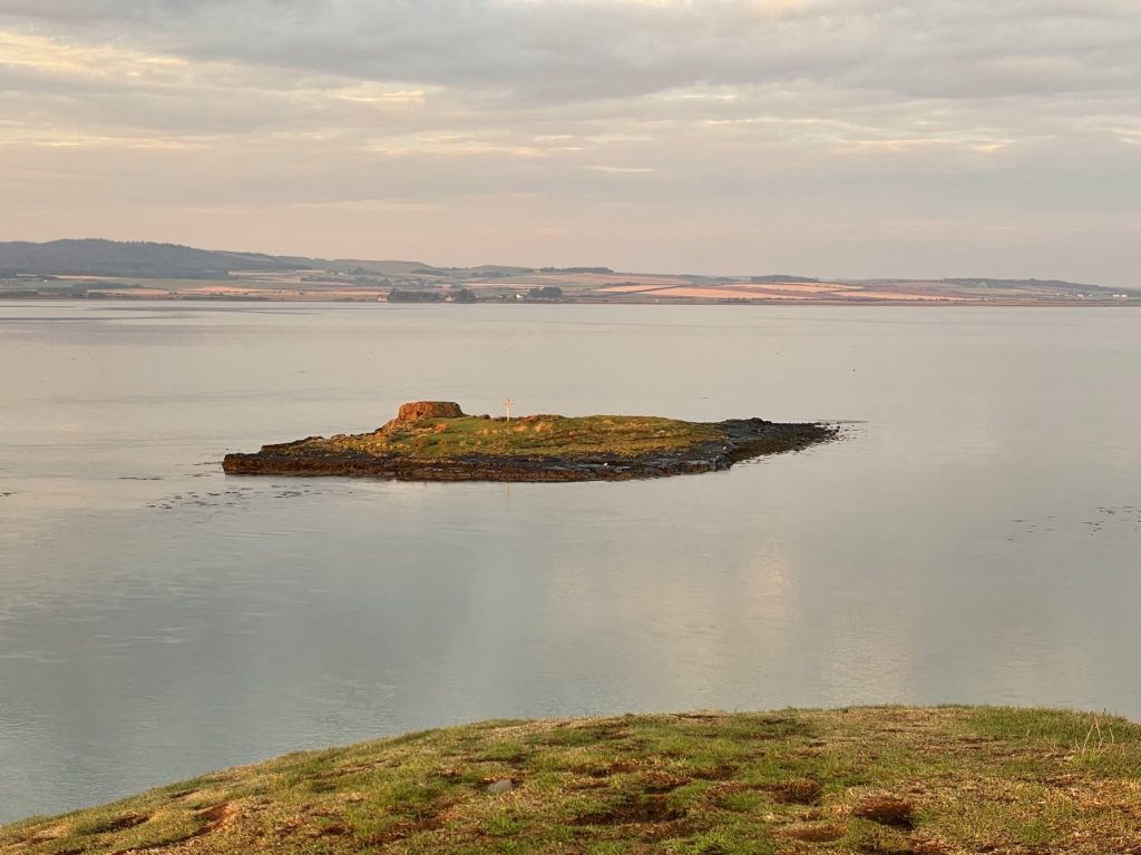
From the walls of St Mary’s, you can see the little island where Cuthbert preferred to live. He was a bishop ministering to the people of the area, including the Royal Court at Bamburgh Castle, but he was also a hermit, who preferred solitude.
This is a better view of the island taken early the next morning as I walked The Heugh, an outcrop that protects the village from the elements.
Lindisfarne Castle is only a short walk along the coast towards the east. It’s a National Trust property, but you can walk through the grounds without needing a ticket.
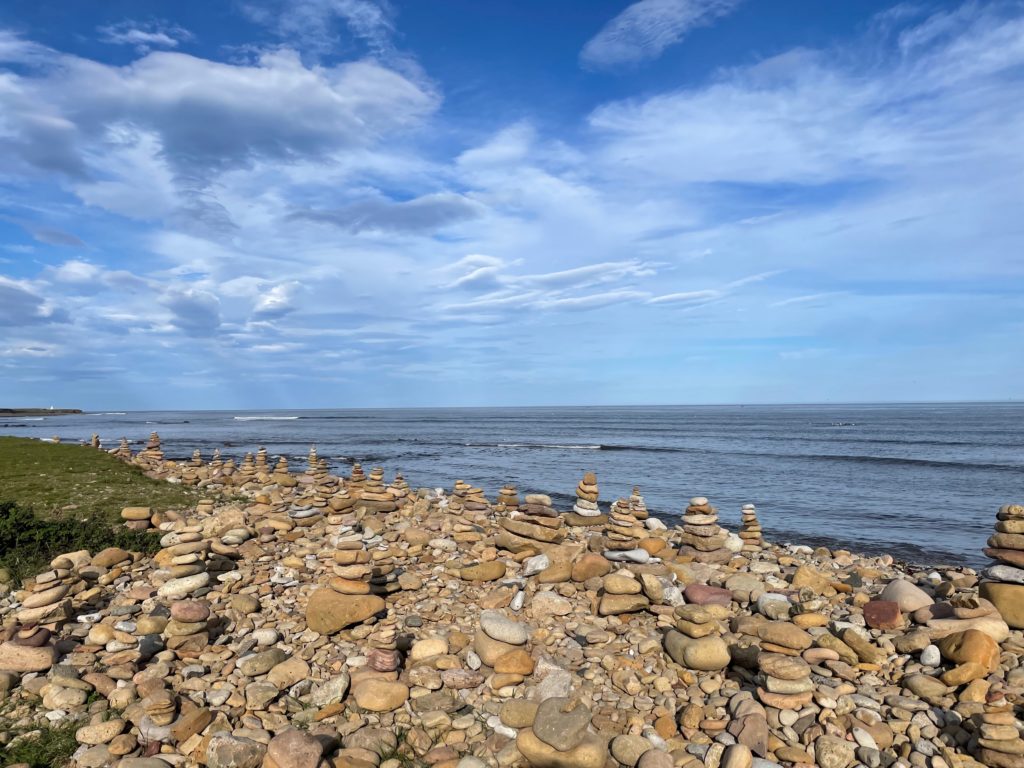
On the east coast, at the farthest point, there are cairns of piled stones. If you look out to sea, the next stop is Norway!
I stayed on the island for the night, which I highly recommend, as it is a completely different place without the daytrippers. There is peace and solitude and teeming birdlife, seals in the channel, and a beautiful landscape. I stayed at the Crown and Anchor, which also has a fantastic restaurant, serving local fish and seafood, beef and other local produce.
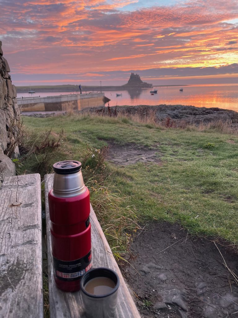
I watched the sunrise from The Heugh, looking east towards the castle with my morning coffee. Once the causeway opened and it was safe to cross, I used Woody’s Taxis to get back to Berwick-On-Tweed for the journey home.
I loved my quiet time on Lindisfarne after the tide came in and the crowds left, and I would love to go back and spend several days and nights there. It’s a special place!

Recommended books about Northumberland and Lindisfarne
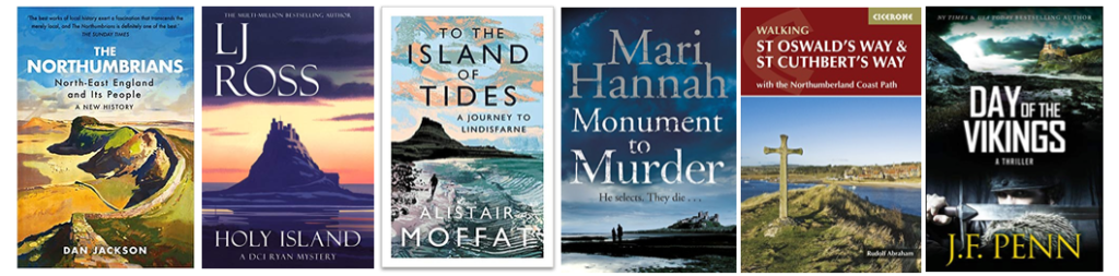

- The Northumbrians: North-East England and Its People. A New History — Dan Jackson. A fascinating insight into the history of this disputed part of the UK, fought over for centuries.
- To The Island of Tides: A Journey to Lindisfarne — Alistair Moffat. Travel memoir about walking the St Cuthbert’s Way.
- Holy Island — L.J. Ross. Crime thriller, first in the DCI Ryan series, which is set in Northumberland. I interviewed Louise about her inspirations on my Books and Travel Podcast here.
- Monument to Murder — Mari Hannah. Crime thriller series set in Northumberland.
- Day of the Vikings — J.F. Penn. A fast-paced, action-adventure thriller set in the British Museum, the British Library, and the islands of Orkney, Lindisfarne, and Iona. Set in the present day, it resonates with the history and myth of the Vikings.
- Cicerone Guide to Walking St Oswald’s Way & St Cuthbert’s Way — Rudolf Abraham
Lots more book recommendations about Lindisfarne, Holy Island, here.